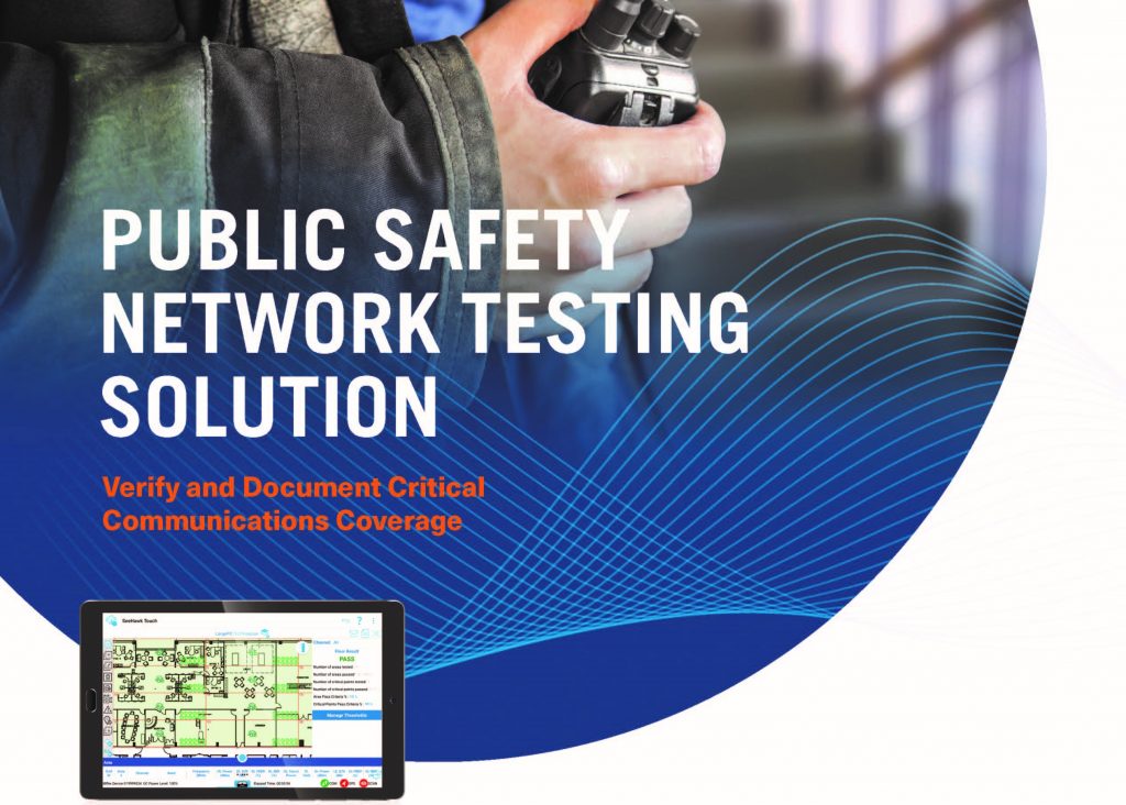
PCTEL Public Safety Network Testing Solution – P25 and Cellular
• Ensure in-building coverage for First Responders and Business Critical communications
• Simultaneously test coverage and signal quality across multiple LMR, cellular, and
WiFi networks
• Comply with NFPA 1221, IFC 510, and local code requirements for grid testing
• Automatically generate real-time pass/fail results and printable reports
• Streamline the building approval process
![]()
![]()
- Description
Description
PCTEL Public Safety Network Testing Solution – P25 and Cellular
Verify and document critical communications coverage
| With this automated grid-based testing and reporting tool, you can ensure public safety and private radio coverage while reducing or even eliminating time-consuming manual processes. Meet and enforce local building codes for Emergency Radio Responder Coverage (ERRC). Create grids and set up tests. Measure and grade by threshold. And auto-generate real time results and submittable reports with one tap.
Kits include our tablet-based SeeHawk® Touch software, lightweight IBflex® scanning receiver, and accessories for in-building or outdoor testing. |
 |
Grid Test Features
|
Additional Features
|


![IBflex[1]](https://cc-globaltech.com/wp-content/uploads/IBflex1-150x150.png)
![Combo Image[1]](https://cc-globaltech.com/wp-content/uploads/Combo-Image1-150x150.jpg)


